


Colorado’s San Juan Mountains are some of the most ruggedly beautiful in the country. Their jagged peaks include thirteen of the state’s famed Fourteeners (mountains exceeding 14,000 feet) and many more stretching nearly as high.
In this breathtaking, high-altitude wilderness, you’ll find family-friendly hikes offering seemingly endless vistas, high mountain meadows, narrow box canyons, rushing rivers, waterfalls, and more. Few places combine variety, remoteness, and accessibility so well as the San Juans!
This post includes hikes found north of Durango in the southern San Juan Mountains. All of the trailheads are about 30-60 minutes from Durango. If you’re looking for hikes closer to the city, some popular trails include Smelter Mountain, Animas Mountain, and the paved Animas River Trail.
Note: Families include kids of all ages, some of whom will be better hikers than others. Every family is unique! You’ll have to use your judgment to decide which hikes your family can tackle. For kids three and under, I highly recommend a good-quality carrier from Ergobaby or Kelty.
Six Fantastic Family-Friendly Hikes near Durango
1. Colorado Trail from Little Molas Lake
 The Colorado Trail above Little Molas Lake
The Colorado Trail stretches 485 miles from Denver to Durango, and it’s a thrill to hike even a small part of it. We loved chatting with the many thru-hikers we encountered. We began our Colorado Trail adventure at Little Molas Lake, located about 40 miles north of Durango. After some moderate climbing, the trail ascends above the trees, offering stunning, panoramic vistas. This hike is one of the easiest ways for families to access the beauty of the high-altitude backcountry. You can hike as long as you like before turning back to the lake.
Of course, there are many other places to hike the Colorado Trail–another great choice for families is the Junction Creek Trailhead. It’s the southernmost segment of the Colorado Trail, so it starts just five miles from downtown Durango. The first 2.5 miles of the hike are mostly flat as the trail follows Junction Creek.
Elevation: Begins at about 11,000 feet–drink plenty of water and watch out for signs of altitude sickness.
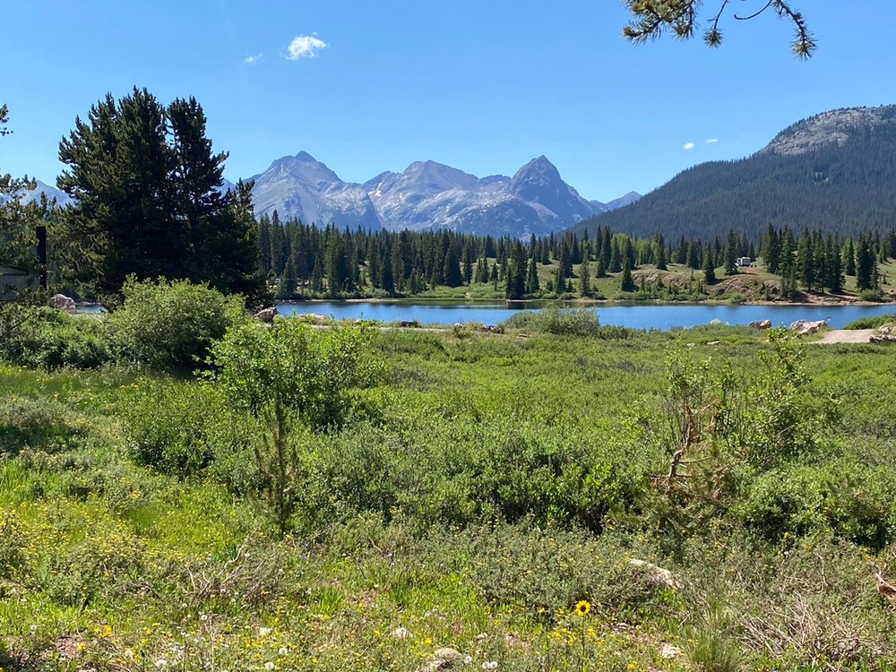 Big Molas Lake (pictured) is just across the highway from Little Molas Lake
2. Purgatory Flats Trail
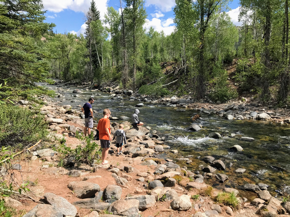 Cascade Creek
This moderate trail begins across the highway from Purgatory Resort (our favorite place to stay). It descends for about a mile through aspen and conifer trees until it reaches the “flats” (flat land) along Cascade Creek. The trail follows the creek for three miles until it joins the Animas River. Since this is an out-and-back trail, you can determine what distance works best for your family–but keep in mind that what goes down must go up! You’ll need to save energy for the climb from the flats back up to the trailhead.
If you do make it all the way to the confluence of Cascade Creek and the Animas River, you can cross the Animas via a footbridge and keep an eye out for the Durango & Silverton Narrow Gauge Railroad Train. You’ll likely encounter hikers heading to or from Chicago Basin, which is home to a number of Fourteeners.
While You’re There: Stop at Purgatory Resort for summer activities including a mountain coaster, an alpine slide, mountain biking, treasure panning, and a ride on the chairlift up the mountain for incredible views.
Distance: 4 miles out, 4 miles back
Elevation: Begins at 8750 feet, ends at 7680 feet
 A view of the Needle Mountains subrange from the Purgatory Flats Trail
3. West Lime Creek Trail
 One of West Lime Creek’s many waterfalls
It can be hard to find information about this hike, but it’s truly a gem and well worth your while. It follows West Lime Creek upriver towards the Twin Sisters mountains, which means you’ll get to enjoy several waterfalls as you watch the creek tumble down the mountainside. At times, you’ll feel as if you’ve been transported to a temperate rain forest! There’s also an abundance of wildflowers in July and August.
The elevation change on this out-and-back hike is gradual, and since you can turn back at any time, it’s easy to tailor it to your family’s abilities. The hardest part can be finding the trailhead, which was unmarked when I visited in 2020. Fortunately, you can search for “West Lime Creek Trailhead” on Google Maps to see where you need to go (it’s the big hairpin turn 3.5 miles south of Molas Pass).
Distance: 3 miles out, 3 miles back
Elevation: Begins at 9,800 feet, ends at 10,600 feet
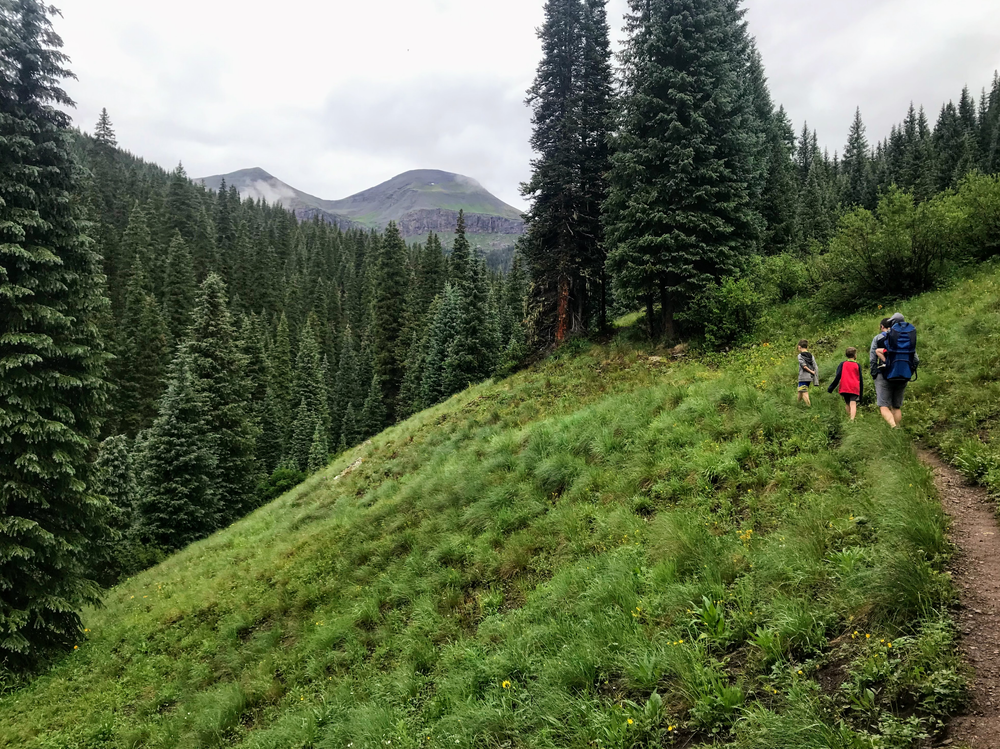 West Lime Creek Trail
4. Spud Lake/Potato Lake Trail
 Spud Lake
Kids love a good destination hike, and hikers on this trail are rewarded with scenic Spud Lake after just 1.1-miles. Once you arrive, you can wade in the lake, walk around it, go fishing, or just sit down and enjoy the view of the surrounding mountains.
With little elevation change, this hike is one of the easiest on the list. It also offers occasional shade cover. The main problem is navigating the rocky road leading to the trailhead. We just managed it in our Nissan Pathfinder, but the final mile or so of the road will be challenging if not impossible for cars with lower clearance. If needed, you can park when the road gets too rough and walk the rest of the way to the trailhead.
Distance: 1.1 miles out, 1.1 miles back
Elevation: Begins at 9400 feet, ends at 9800 feet
5. Hermosa Creek Trail
 Hermosa Creek Trail
This long but relatively flat trail meanders northwest through the mountains from the town of Hermosa. It’s popular with mountain bikers (including my husband), so beware of fast-moving traffic. You can hike up to 19 miles one way or enjoy the scenery for a mile or two before turning back.
The 416 Fire of 2018 burned 54,000 acres in this area, some of which you’ll see for the first few miles of the trail. It’s heartening to see new vegetation growing amid the charred trees.
Distance: Up to 19 miles
Elevation: Begins at 7,820 feet, ends at 8.880 feet; minimum elevation is 7,485 feet
While You’re There: My family loves to stop at nearby James Ranch, a “table on the farm” restaurant that sources its own main ingredients (including beef, cheese, eggs, and veggies). Both the food and the outdoor dining area are outstanding.
You can also visit the Honeyville store for Colorado-made specialty honeys, honey jams, jellies, and sauces. We’re especially fond of the fruit-flavored whipped honeys.
6. Vallecito Creek Trail
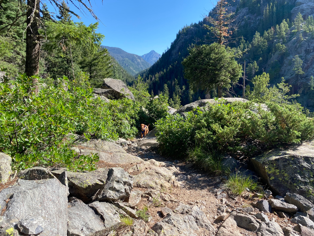 Dogs love the Vallecito Creek Trail, too!
Unlike the other hikes on this list that are reached by traveling north from Durango on Highway 550, Vallecito Creek Trail begins northeast of Durango at Vallecito Campground (just north of Vallecito Reservoir). This moderate trail follows Vallecito Creek north into the Weminuche Wilderness. After an easy half mile, it climbs about 500 feet above the creek, creating beautiful views and a few steep drop offs. The trail is quite wide, so it’s not too precarious. Just be sure to keep an eye on younger kids hiking unassisted. At about two miles, the trail descends back to the creek.
The Vallecito Trail extends for 19.5 miles until it reaches the Continental Divide Trail, but day-tripping families can hike three miles to the first foot bridge or turn back any time before that.
Distance: Up to 19.5 miles
Elevation: Begins at 7,900 feet, ends at 12,490 feet–but the first few miles of the hike only has about 500 feet gain
While You’re There: Stop for a meal at the delicious Weminuche Woodfire Grill near Vallecito Reservoir.
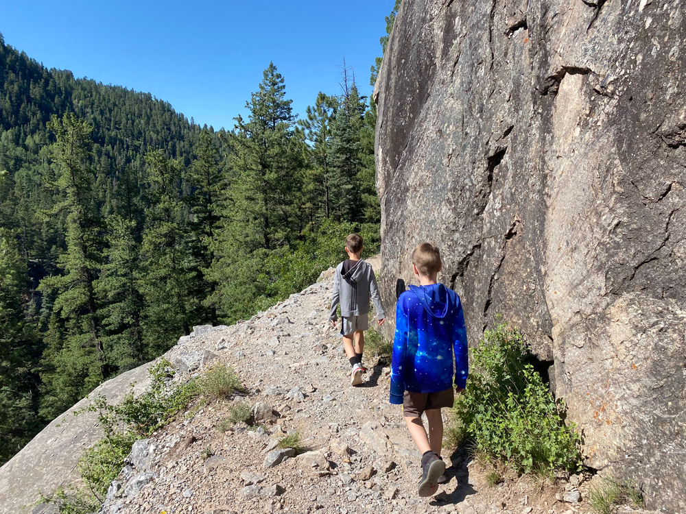 Hiking along one of Vallecito Creek Trail’s drop-offs
Looking for more family fun near Durango? Check out my related post: Top Ten Family Adventures in the San Juan Mountains


